
Ongoing Projects
Funded Research Projects
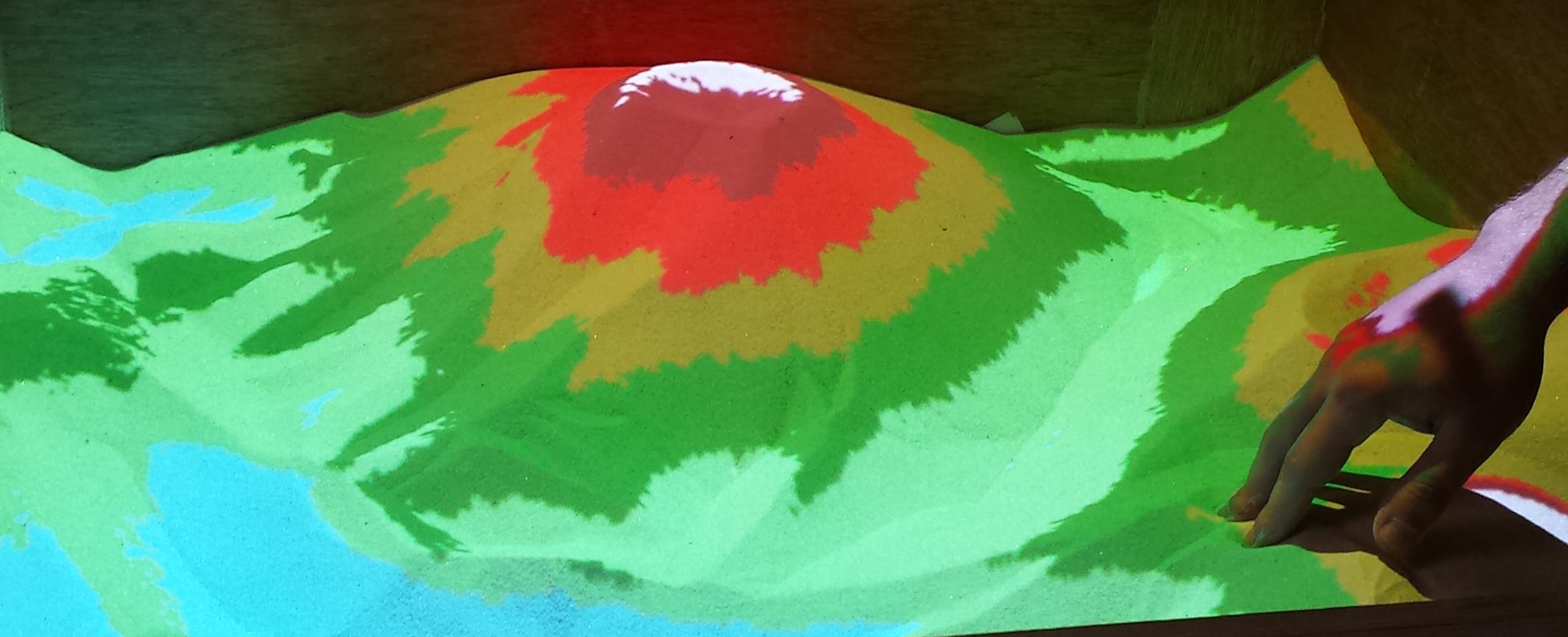
- Co- Principal Investigator, Development of a prototype real 3-D forming touch table for interactive 3-D Geographical Information System, “Cooperation 2011” funded from the Operational Program “Competitiveness and Entrepreneurship”, cofunded by the European Regional Development Fund, managed by the Greek General Secretariat for Research and Technology 2012-2015, budget: 1,392,900 Euros.
- Principal Investigator, Spatiotemporal Queries by Sketch in Moving Object Geodatabases, Technical University of Crete, 2010-current, Support on Basic research.
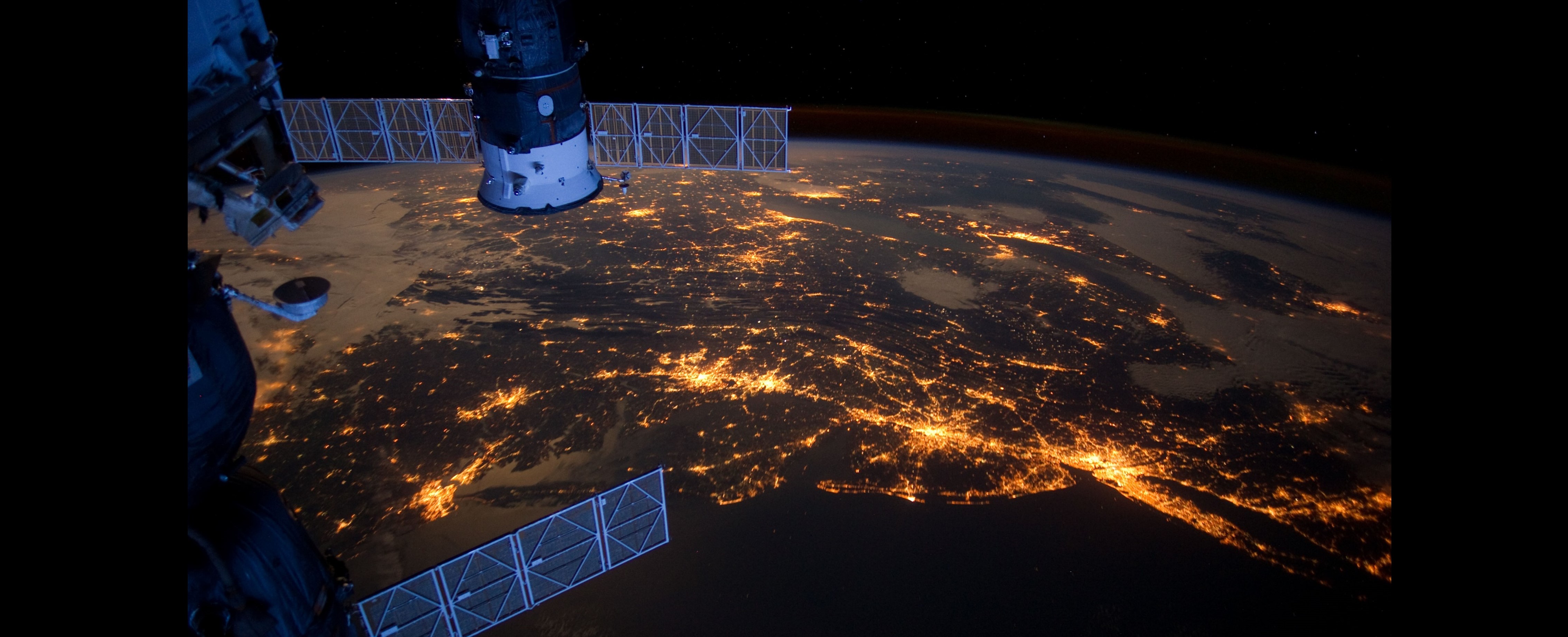
- Principal Investigator, European Space Agency, Project No: 11655, Monitoring ground subsidence due to ground and underground mining activities in northern Greece, , 2012.
- FP7-REGPOT-2008-1 Project No: 229885 "SOFIA: Enhancement of Crete's potential for a dedicated calibration facility for satellite radar altimeters and for tectonic deformation monitoring using continuously operating geodetic arrays", 2008-current, Technical University of Crete, Laboratory of Geodesy and Geomatics Engineering.
- FP7, Early Recognition, Monitoring, and Integrated Management of Emerging, New Technology related Risks, iNTeg-Risk, Project coordinator: European Virtual Institute for Integrated Risk Management EEIG (EU-VRi), 2008-2013, Total project budget: ~19.3 million €.
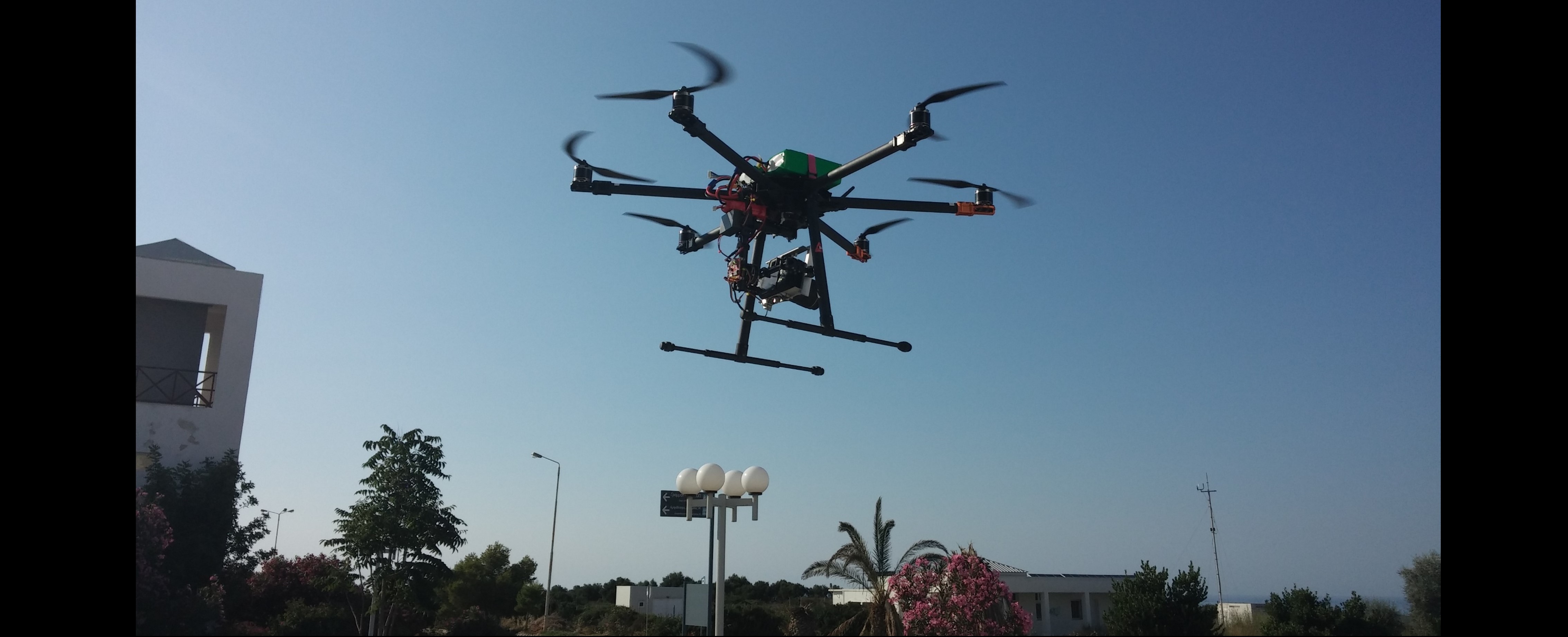
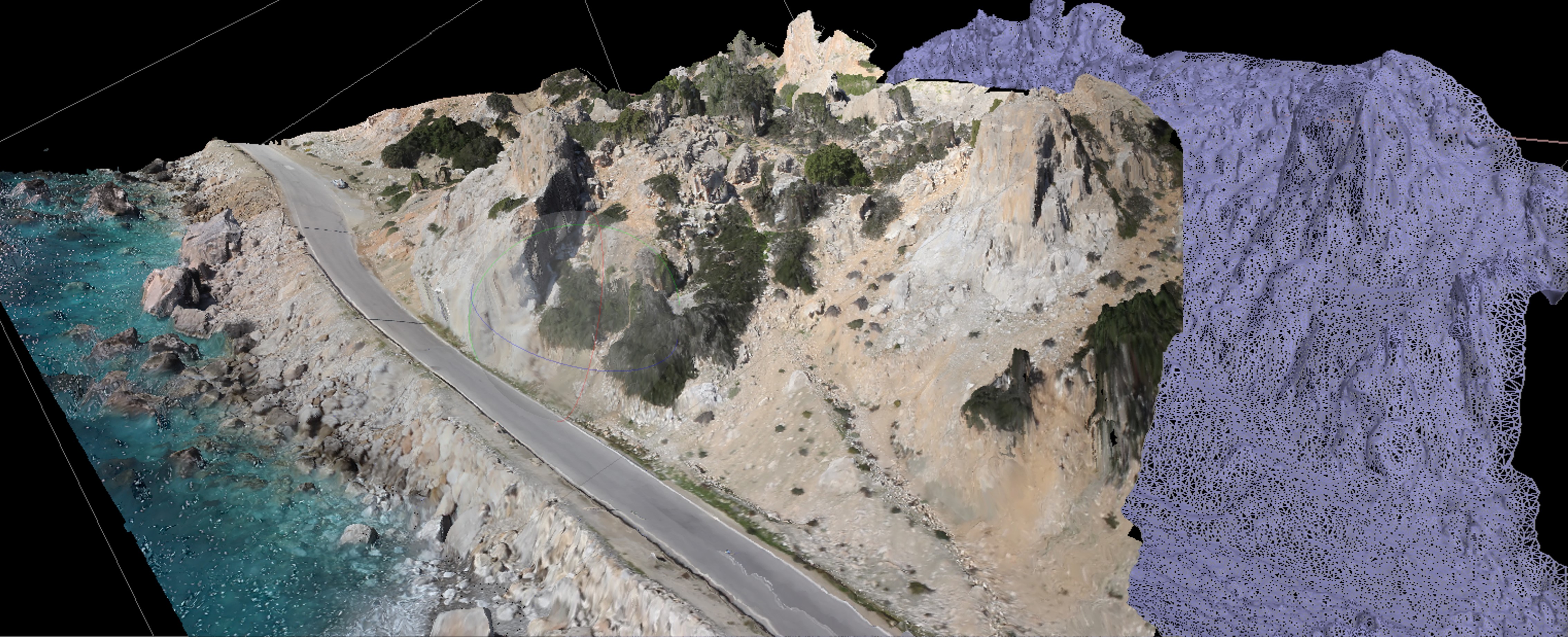
- “Cooperation 2011” project ISTRIA (11_SYN_9_13989), Development of an integrated system for the identification of rock falls on motorways, funded from the Operational Program “Competitiveness and Entrepreneurship” (co-funded by the European Regional Development Fund (ERDF)) and managed by the Greek General Secretariat for Research and Technology.
- Anthropogenic Intervention assessment in Greek coastal regions, co-funded by the European Social Fund and National Resources - (EPEAEK II) ARXIMHDHS.
- Digital Government on Knowledge Management Over Time-Varying Geospatial Datasets sponsored by National Science Foundation (NSF).
- Geospatial Database-Driven Extraction of Information from Digital Aerial Imagery, sponsored by NSF.